Geography of Ecuador
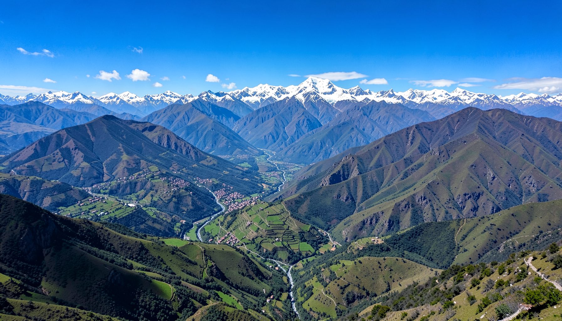
Ecuador sits on the equator along the northwestern coast of South America, bordered by Colombia to the north and Peru to the east and south. The Pacific Ocean defines its western coastline. Despite its compact size, the country encompasses remarkable geographic diversity — from coastal lowlands to the high Andean sierra and the Amazon basin.
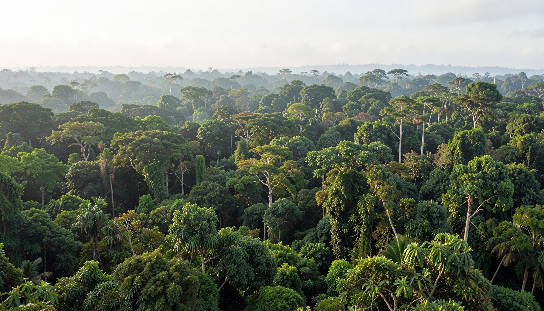
The country is divided into four distinct natural regions: the Costa (coastal plain), the Sierra (Andean highlands), the Oriente (Amazon rainforest), and the Galápagos Islands, an archipelago of volcanic origin located about 1,000 kilometres west of the mainland.
The Four Regions
La Costa
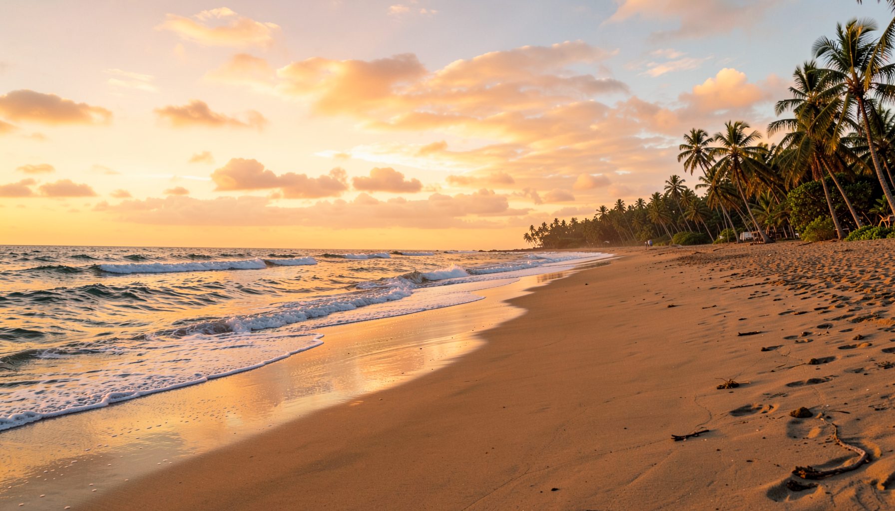
The coastal lowlands stretch along the Pacific, featuring fertile plains, mangrove estuaries, and bustling port cities. The climate is warm and tropical, supporting banana, cacao, and coffee plantations.
La Sierra
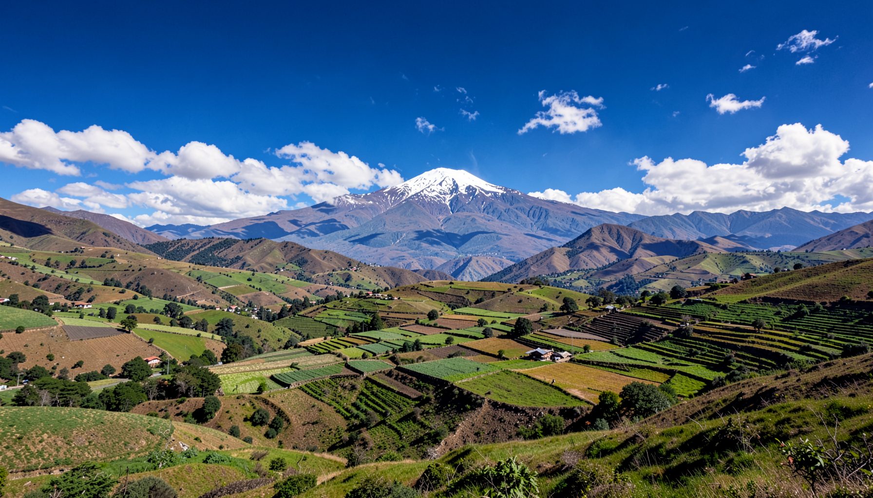
The Andean highlands run north to south through the centre of the country, with peaks exceeding 6,000 metres. Quito, the capital, sits at 2,850 metres above sea level in this region, known for its volcanic landscapes and fertile valleys.
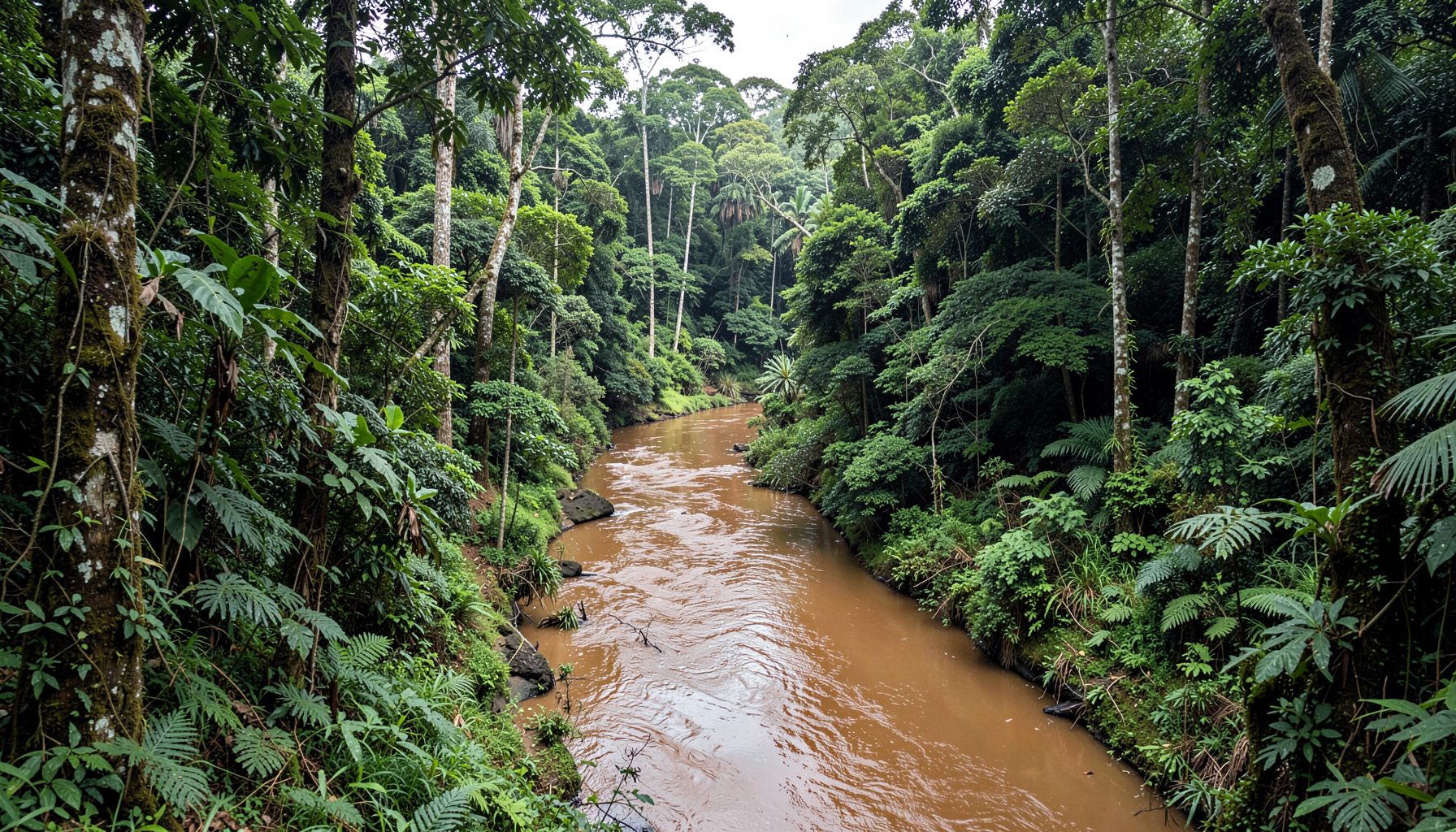
El Oriente
The Amazon region covers the eastern part of Ecuador, characterised by dense tropical rainforest, extraordinary biodiversity, and indigenous communities. Major rivers feed into the Amazon basin.
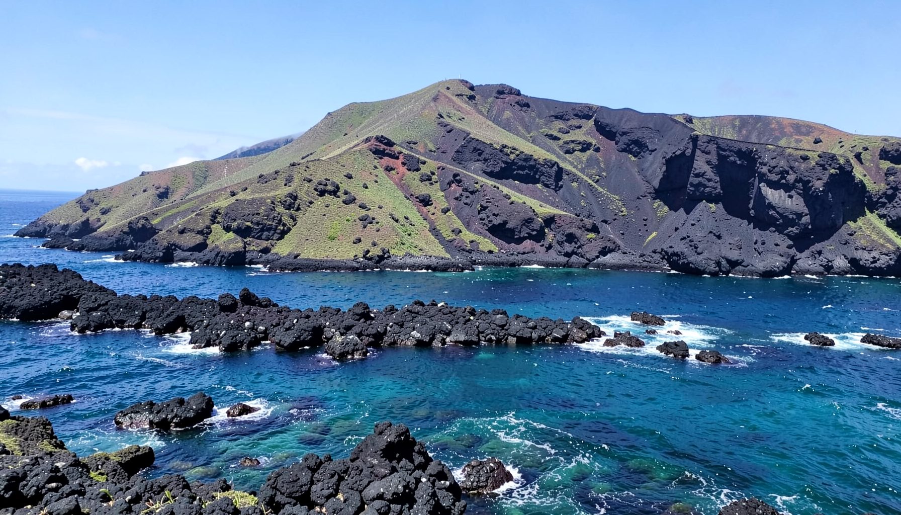
Galápagos Islands
This volcanic archipelago lies in the Pacific Ocean, famed for its unique wildlife and ecosystems that inspired Charles Darwin's theory of evolution. The islands are a UNESCO World Heritage site.
Key Geographic Facts
- Capital: Quito
- Largest city: Guayaquil
- Total area: Approximately 283,561 km²
- Coastline: 2,237 km along the Pacific Ocean
- Highest point: Mount Chimborazo (6,263 m) — its summit is the farthest point from the Earth's centre due to the equatorial bulge
- Official language: Spanish
Learn more about Ecuador's rich past on the History page.
Ecuador's geographic position along the equator shapes not only its climate but also its economic character, which visitors and residents alike quickly come to appreciate. Much like managing a budget, understanding the country's four natural regions helps you plan smarter—whether you are exploring the coastal lowlands, the Andean highlands, the Amazon basin, or the volcanic Galápagos archipelago. Each region offers its own rhythm and resources, from agricultural bounty to tourism opportunities. For those traveling or relocating, keeping financial matters organized across such diverse terrain is essential. Smart money habits—tracking expenses, comparing options, and saving where possible—apply just as readily to an overseas adventure as they do to everyday life back home.